Esneux or Tilff: choose your day beside the Ourthe
The Ourthe connects landscapes within the municipality of Esneux, but it does not turn every walk into one continuous itinerary. For a first outing, the best choice may be one base: Esneux or Tilff. You can then discover a centre, a relationship with the river and a few nearby references, instead of spending the day joining two lists of places. Heights, hamlets and woodland offer other experiences requiring different preparation. This guide distinguishes those wishes through specific local references. It promises neither permanent access to every bank, continuity of a path, nor availability of an activity on its publication date. A clear choice can make a partial visit more satisfying than an uncertain attempt to combine everything.
Begin with a question about gradients
Would you mainly like to remain in the valley bottom, or do you want a route climbing towards the surrounding landscapes? That question is more useful than the phrase “a little walk.” A modest distance may contain steps, an ascent or surfaces requiring attention. The municipality's walking page presents routes at different levels. Read a full description: starting point, route, profile and conditions. An attractive panorama alone says nothing about the effort needed to reach it. If abilities vary within the party, first select something everyone can appreciate. Keep an extension as a distinct possibility rather than an obligation announced at the last moment. Preparing that choice prevents a seemingly small addition becoming an uncomfortable commitment.
Choose an arrival that matches the base
When preparing transport, check exactly where you will arrive, then the pedestrian connection to the selected sector. A municipality name on a ticket or map is not enough to establish where the walk begins. For public transport, consult the useful outward and return journeys with the operator, including changes. If driving, find permitted parking rather than using a riverbank approach as an improvised space. Save a short return option too. Selecting one base preserves the same logic throughout the day: you know where you start, what you add and when you decide to return. The convenient arrival point and your preferred first viewpoint may differ, so prepare the connection instead of assuming it will be obvious.
Read the river before following a bank
From a suitable public position, take time to locate both sides of the Ourthe and visible crossings. Identify your own side on the map. A bend may make two points seem close while the public journey between them is more complicated. Do not draw a walking loop simply because the water suggests one in the landscape. A bridge in view is not necessarily the next crossing on your route, and a path section shown in a photograph proves no continuity. For a short visit, an out-and-back on a checked section may be more agreeable than a circuit assembled at random. The river remains the subject of the visit, rather than an instruction for navigation.
In Esneux, use the bridge to understand the setting
Municipal information locates walking departures and information boards near Esneux bridge. Use this area to establish orientation without stopping in a passage. Notice relationships between centre, approaches and slopes. A view from the valley reveals how settlement sits within the relief before you decide to climb. If you simply want the river and a break in the centre, that observation already gives the day substance. It need not be presented as the incomplete beginning of a hike. Check current information before relying on a particular reception point or equipment mentioned in an older brochure. You can use a landmark for orientation while separately confirming whether any service associated with it is available.
Vieux-Thier shows that the town has levels
The municipality's “Art et nature” description mentions Vieux-Thier and its staircase in an ascent towards higher ground. The name is a useful reminder: discovering Esneux is not always a horizontal walk. To follow that suggestion, inspect the complete route rather than a single apparently nearby stage. If steps are unsuitable for your party, choose another programme instead of seeking an unchecked diversion to preserve the same objective. The outing's quality also depends on such adaptation. You can observe the relationship between centre and heights without reproducing every connection suggested in a walking document. A route that works comfortably is more useful than a list of landmarks retained while the connections between them remain uncertain.
Château Le Fy: a silhouette, not an admission ticket
Municipal documentation presents Le Fy as a strong element in Esneux's landscape. Its silhouette can provide an interesting subject from a public position where it is visible. Notice how a building attracts attention when standing out against a slope, and distinguish that reading from visiting property. The tourism description identifies a private estate that cannot be visited. Do not therefore infer from a picture, park name or isolated timetable that the castle interior is open to the public. Seek the corresponding information for any particular access. Observation at a distance remains a complete experience, preserving the difference between a landscape reference and a tourism service. Enjoying the view does not create a requirement to approach the building.
Parc du Mary is not simply a small square to add
Parc du Mary appears in municipal resources covering walks and Esneux's larger woodland setting. Before adding it, choose an entrance and route suitable for your time and equipment. The word park can suggest a few paths immediately beside a café; it cannot describe every possible variant. Consult the selected route document, then check conditions on arrival. An older map may explain sectors without replacing present information. If you prefer a day around centre and riverbank, keep woodland for another outing. You then have a precise reason to return, rather than an extension walked without genuinely choosing it. The place's name can start preparation, but should not be treated as proof of a particular scale or level of effort.
Read the entire Boucle de l'Ourthe route
VisitOVA's “Esneux P05 | Boucle de l'Ourthe” publishes a route and profile, listing 6.61 kilometres and 126 metres of ascent. These references explain why a title alone is insufficient. The word loop does not mean a short turn beside a bridge. Study the starting point and route elements, then consider your pace, breaks and conditions. A duration estimate in a description is not a commitment for your party. Likewise, a general symbol cannot explain every constraint for a wheelchair user or pushchair. Ask for necessary details about passages relevant to you. The useful decision comes from combining the description with actual needs, rather than choosing the most reassuring label while ignoring the terrain it accompanies.
Ham: look at an inhabited hamlet
The municipal page for Ham presents an architectural ensemble protected in 1991. This invites looking at relationships between buildings instead of isolating a house as an available attraction. If your route leads there, remain in public spaces and respect private approaches. A village is not a silent set reserved for walking; residents may enter, work or circulate while you pass. Observe sequences of volumes, visible materials and adaptation to the slope without photographing an occupied window. To understand a building's history, use a description or ask an appropriate person instead of inventing a function from appearance. The ensemble can be appreciated without turning private lives into material for a visitor's account or assuming every entrance belongs to the route.
Beaumont and the memory of landscapes
The municipal “Art et nature” walk connects the Ourthe bend, Beaumont plateau and Ham. It proposes a reading in which landscape and memories of artists meet. To appreciate it, distinguish what the document recounts from what you observe today. A commemorative monument may prompt research into how a landscape was defended or described; it does not mean every literary scene mentioned happened exactly in front of you. Do not manufacture a quotation or encounter to enliven the account. A place can support personal reflection without receiving a history absent from the sources. If a reference interests you, retain its name for later reading, allowing the walk and documentary investigation to complement rather than impersonate one another.
Roche-aux-Faucons is not a casual extra
Municipal pages place some Roche-aux-Faucons circuits among difficult routes. That should change preparation: wanting a panorama is not the same project as a riverbank stroll. If selecting the option, choose the exact description and examine the complete route, conditions and return. Do not follow an improvised ascent because a cliff appears in a picture or a familiar name seems essential. You can also understand the relief from another public position included in your itinerary. Declining an unsuitable extension removes nothing from discovering Esneux; it allows enjoyment of what is actually manageable. A well-known viewpoint is a reason to prepare a suitable visit, not a reason to ignore differences between today's plan and a more demanding outing.
Tilff as another starting point
If organising the outing around Tilff, prepare it as a base in its own right. The municipality's current walking page identifies the communal tourism office there, on Esplanade de l'Abeille. Check contact and reception information before travelling to collect a map. Details may differ between a recent page and an old leaflet. Then select the walk matching your wish rather than assuming every municipal suggestion begins in the same place. Tilff can be appreciated without walking to Esneux that day. This choice simplifies decisions and leaves time for a break, observation or an actually confirmed activity. The two names can belong to one municipal landscape without becoming two compulsory stops in every visitor's programme.
Île du Moulin and Deux Rives: select the right document
VisitOVA presents a small Île du Moulin loop and a Deux Rives promenade around Tilff among modular suggestions. Their names help locate appropriate documents, but should not be mixed into a new route without checking. Compare outlines and starting points, then choose a version. If accessibility is decisive, inspect specific passages and ask about present conditions: a general category cannot replace that information. The point of a modular suggestion is precisely to allow selection. There is no requirement to combine variants to feel you have discovered the river, and the return should be understood as clearly as departure. Keeping one coherent description is often more practical than assembling attractive fragments whose connections have not been established.
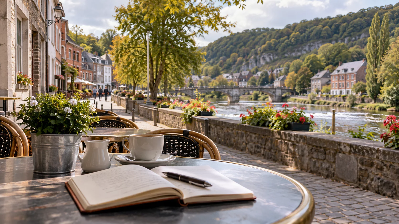
A riverside walk is also a route for movement
On a shared path, notice uses before stopping. Walkers, cyclists and people simply reaching another point may move at different paces. Keep the party together without occupying the full width, then choose a clear side for photographs or discussion. If a child observes water, stay close and retain a suitable distance from the edge. The intention is not to make the path a place of anxiety, but to preserve attention that makes the outing comfortable. A good composition can be found from a stable position. It justifies neither stepping backwards without looking nor abruptly crossing someone's trajectory to capture a reflection. Looking at the river and remaining aware of the path are compatible parts of the same visit.
Water deserves current information
An inhabited valley is more than an image of a quiet river. Before departure, consult useful weather information and official instructions, then respect restrictions and signs encountered. This text describes no water level for your visiting day and announces no closure. It simply recalls that a bank accessible in an old image guarantees nothing about current conditions. Do not bypass a barrier to preserve a prepared itinerary. A town-centre activity, a genuinely available indoor break or an early return can replace a bank section. The programme must follow the place's situation, rather than imposing on the river a role imagined in a photograph. Preparation is useful partly because it supplies alternatives when the preferred section is not appropriate.
For woodland, check dates and notices
The municipality asks walkers to consult information about organised hunts before woodland outings and explains the role of regulatory notices on affected paths. If your project includes woodland, prepare that check as you prepare transport. An app or downloaded route cannot replace instructions at a path entrance. Nor should you assume private access becomes usable because it bypasses a closed passage. If conditions do not suit, choose another outing. A day based in Esneux or Tilff remains interesting without woodland, and a clear choice is better than multiplying improvised variants around obstacles. Checking conditions does not require treating every landscape as unavailable; it means connecting a particular plan with information relevant to its actual location and date.
Use the break to decide what follows
Choose a pause according to the party's needs: sitting, eating, drinking or having somewhere to discuss the return. Check places actually open, prices and reception possibilities. No business or terrace is guaranteed here. Use the interval to decide whether to retain the programme, shorten it or take a prepared extension that remains suitable. The decision is easier when nobody must make it standing in the middle of a passage. A day beside the Ourthe can have a meal and a short, well-selected walk as its highlights. Its value needs no justification through a high distance or the number of places added afterwards. A calm pause can clarify which part of the initial plan still matters to everyone.
Two understandable programmes without a promised connection
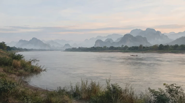
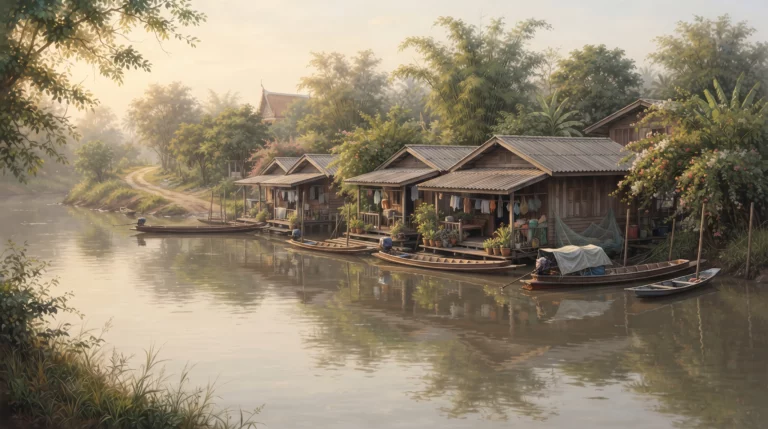
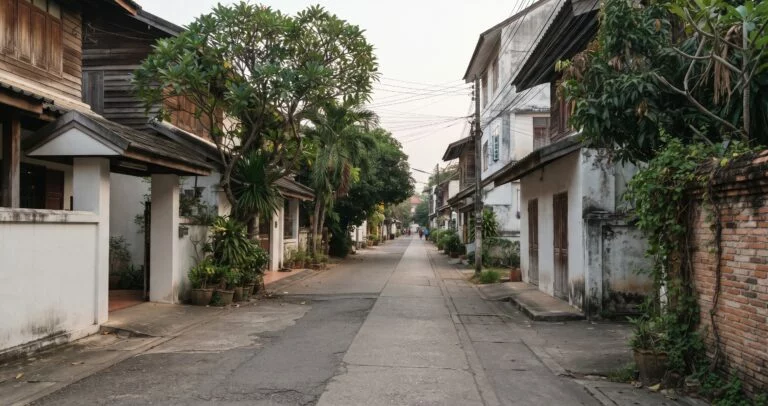
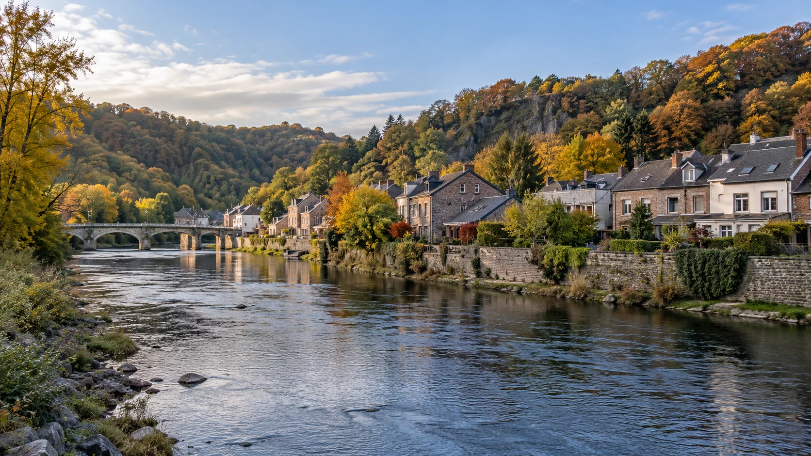
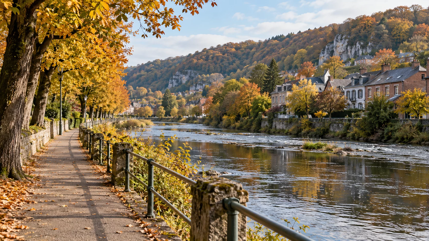
One formula selects Esneux as base: orientation near the bridge, observation of centre and river, then a break and return by a checked connection. Another selects Tilff and an identified circuit chosen after reading its description. The heights form a third project, prepared separately if you genuinely want more walking. These suggestions guarantee neither duration nor a continuous route between the centres. This article's images are AI-generated illustrations evoking the Ourthe and an outing, not documents of a particular path's condition. If sharing your own photographs, use accurate captions and respect recognisable people and private places. The images support the theme without establishing that the exact surface or viewpoint shown will be available to the reader.
Leave with a clearer geography
At day's end, ask what became clearer: differences between valley bottom and heights, a hamlet's position, the organisation of a bank or the choice between two bases. These are more precise memories than claiming to have “done the Ourthe.” Keep the name of the route used and remaining questions, then check the return. Esneux and Tilff do not demand combination at any cost. A partial visit, prepared with a starting point and room for decisions, can provide more pleasure and understanding. It also leaves another visit available for different relief, another neighbourhood or a walk now selected with better information. Clarity about one part of the valley is a useful outcome, without needing to claim a complete account of the whole.
Sources for preparing and checking the outing
- Commune d’Esneux — Promenades à pied
- VisitOVA — Esneux P05, Boucle de l’Ourthe
- Commune d’Esneux — Art et nature
- Commune d’Esneux — Ham
- VisitOVA — Itinérances, variantes autour de Tilff
- VisitOVA — Parc du Château Le Fy
- Commune d’Esneux — En forêt

The book
The Empty Wall is the second book of Oscar’s Notebook, a series of crime novels set in Liège.